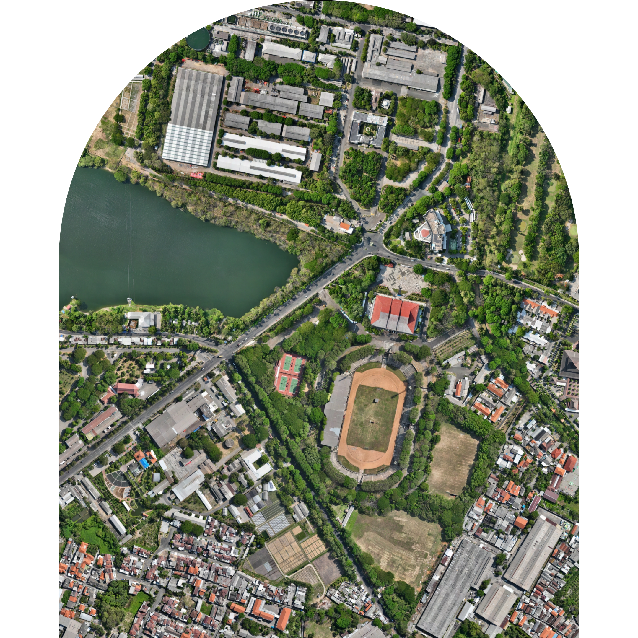
Is a map that displays geospatial information in the form of the earth’s surface including objects on it which is used as a reference in creating and presenting thematic geospatial information.
Digitization
Topology
Toponymy
Orthorectification
GeoAI
A problem solving approach using a geographic information system combined with AI, machine learning and deep learning
Tree Counting / OBIA (Object Based Image Analysis)
Hauling Road Inspection
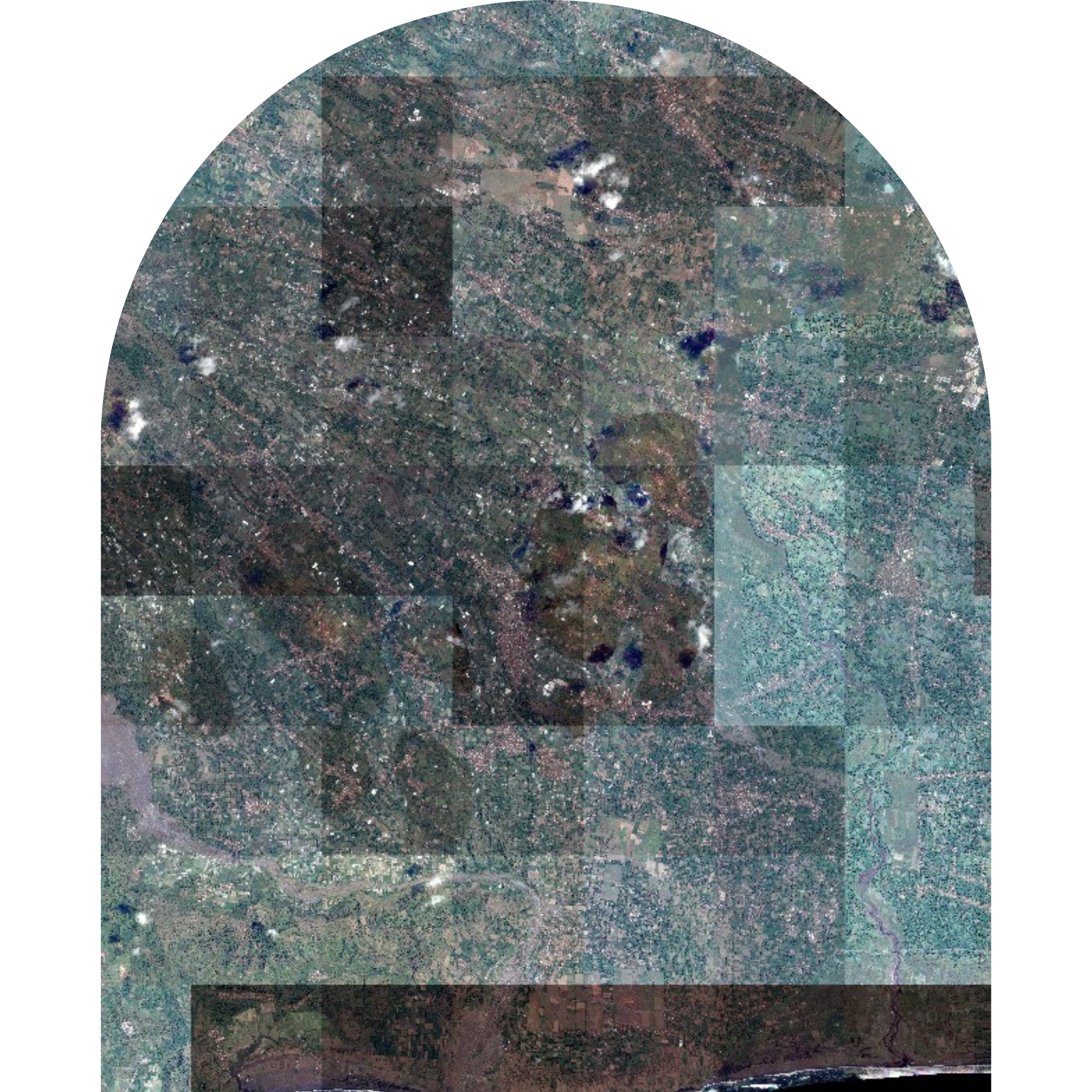
Remote Sensing
A method of collecting data on targeted objects without the need for direct physical interaction with the object
Land Cover Analysis
Mineral Analysis
Plantation Analysis
Satelite Imagery
Contact Us
Alamat Head Office
Jl. KH. Agus Salim No. 24, Gapurosukolilo, Kec. Gresik, Kab. Gresik, Jawa Timur, 61119
Alamat Studio
Perumahan Alam Bukit Raya Blok C6 No. 3, Ds. Kembangan, Kec. Kebomas, Kab. Gresik, Jawa Timur, 61124